
Lao Bảo topographic map
Interactive map
Click on the map to display elevation.
About this map
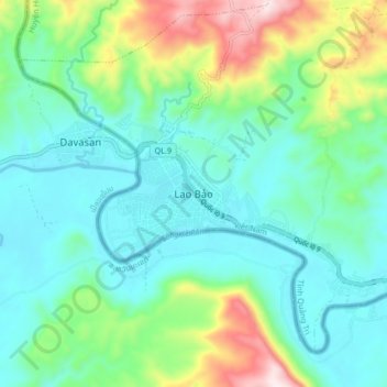
Name: Lao Bảo topographic map, elevation, terrain.
Location: Lao Bảo, Huyện Hướng Hoá, Province de Quảng Trị, Viêt Nam (16.57476 106.56265 16.65476 106.64265)
Average elevation: 316 m
Minimum elevation: 186 m
Maximum elevation: 710 m