
Chartres Cathedral topographic map
Click on the map to display elevation.
Chartres Cathedral
The elevation of the nave, showing the gallery on the ground level; the narrow triforium; and, on top, the windows of the clerestory
About this map
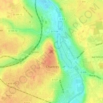
Name: Chartres Cathedral topographic map, elevation, terrain.
Average elevation: 148 m
Minimum elevation: 123 m
Maximum elevation: 165 m