
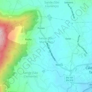
Sande (São Martinho) topographic map
Interactive map
Click on the map to display elevation.
About this map
Name: Sande (São Martinho) topographic map, elevation, terrain.
Location: Sande (São Martinho), Guimarães, Braga, Ave, Norte, Portugal (41.48461 -8.38070 41.50324 -8.34943)
Average elevation: 186 m
Minimum elevation: 108 m
Maximum elevation: 466 m