
Špičak topographic map
Interactive map
Click on the map to display elevation.
About this map
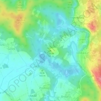
Name: Špičak topographic map, elevation, terrain.
Location: Špičak, Tschernembl, 8343, Slowenien (45.53621 15.19210 45.53631 15.19220)
Average elevation: 164 m
Minimum elevation: 137 m
Maximum elevation: 229 m
Other topographic maps
Click on a map to view its topography, its elevation and its terrain.
Bojanci
Slowenien > Tschernembl > Bojanci
Bojanci, Tschernembl, 8344, Slowenien
Average elevation: 249 m