
Arakuzha topographic map
Click on the map to display elevation.
About this map
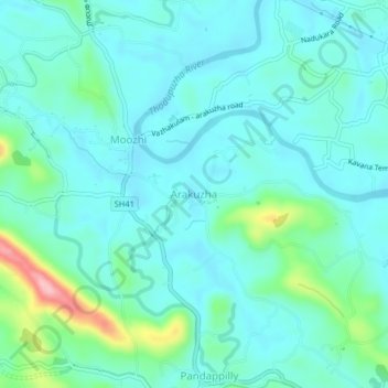
Name: Arakuzha topographic map, elevation, terrain.
Location: Arakuzha, Muvattupuzha, Ernakulam, Kerala, 686672, India (9.90927 76.58585 9.94927 76.62585)
Average elevation: 42 m
Minimum elevation: 12 m
Maximum elevation: 172 m
Other topographic maps
Click on a map to view its topography, its elevation and its terrain.