
Kadapa topographic map
Interactive map
Click on the map to display elevation.
About this map
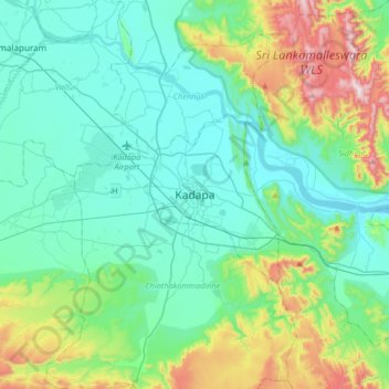
Name: Kadapa topographic map, elevation, terrain.
Location: Kadapa, YSR District, Andhra Pradesh, 516001, Inde (14.31529 78.66169 14.63529 78.98169)
Average elevation: 257 m
Minimum elevation: 102 m
Maximum elevation: 814 m