
Yorba Regional Park topographic map
Interactive map
Click on the map to display elevation.
About this map
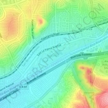
Name: Yorba Regional Park topographic map, elevation, terrain.
Average elevation: 123 m
Minimum elevation: 84 m
Maximum elevation: 206 m
Other topographic maps
Click on a map to view its topography, its elevation and its terrain.
Main Street
USA > California > Anaheim
Main Street, Anaheim, Orange County, California, DISNEYLAND, USA
Average elevation: 43 m
Tom Sawyer's Island
USA > California > Anaheim
Tom Sawyer's Island, Anaheim, Orange County, California, USA
Average elevation: 43 m