
Bheja topographic map
Click on the map to display elevation.
About this map
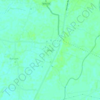
Name: Bheja topographic map, elevation, terrain.
Location: Bheja, Madhepur, Madhubani, Bihar, India (26.08407 86.37617 26.12407 86.41617)
Average elevation: 48 m
Minimum elevation: 44 m
Maximum elevation: 52 m