
Thiện Lạc topographic map
Interactive map
Click on the map to display elevation.
About this map
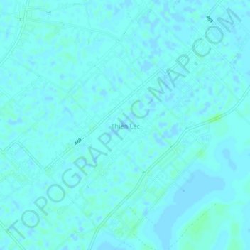
Name: Thiện Lạc topographic map, elevation, terrain.
Location: Thiện Lạc, Giao Thủy, Nam Định, 0350, Vietnam (20.24289 106.50166 20.28289 106.54166)
Average elevation: 2 m
Minimum elevation: -3 m
Maximum elevation: 8 m