
Riverdale topographic map
Interactive map
Click on the map to display elevation.
About this map
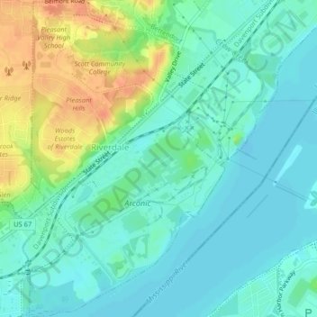
Name: Riverdale topographic map, elevation, terrain.
Location: Riverdale, Scott County, Iowa, USA (41.52360 -90.47535 41.55361 -90.44971)
Average elevation: 181 m
Minimum elevation: 168 m
Maximum elevation: 209 m