Le Moulin de la Touche topographic map
Interactive map
Click on the map to display elevation.
About this map
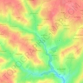
Name: Le Moulin de la Touche topographic map, elevation, terrain.
Average elevation: 183 m
Minimum elevation: 137 m
Maximum elevation: 214 m

Click on the map to display elevation.
Name: Le Moulin de la Touche topographic map, elevation, terrain.
Average elevation: 183 m
Minimum elevation: 137 m
Maximum elevation: 214 m