
Réservoir sous-terrain topographic map
Interactive map
Click on the map to display elevation.
About this map
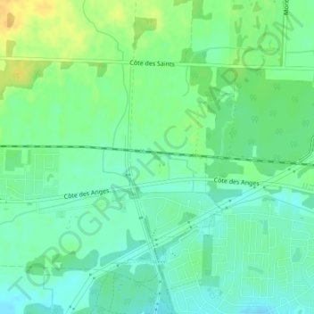
Name: Réservoir sous-terrain topographic map, elevation, terrain.
Location: Réservoir sous-terrain, Mirabel, Laurentides, Quebec, Canada (45.64181 -74.00921 45.64224 -74.00832)
Average elevation: 68 m
Minimum elevation: 57 m
Maximum elevation: 85 m