
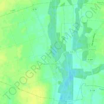
Saint-Saturnin topographic map
Interactive map
Click on the map to display elevation.
About this map
Name: Saint-Saturnin topographic map, elevation, terrain.
Average elevation: 84 m
Minimum elevation: 76 m
Maximum elevation: 92 m
Other topographic maps
Click on a map to view its topography, its elevation and its terrain.
Haussimont
Haussimont, Châlons-en-Champagne, Marne, Grand Est, France métropolitaine, 51320, France
Average elevation: 171 m
Saint-Chéron
Saint-Chéron, Vitry-le-François, Marne, Grand Est, France métropolitaine, 51290, France
Average elevation: 140 m
Hautvillers
Hautvillers, Épernay, Marne, Grand Est, France métropolitaine, 51160, France
Average elevation: 178 m
Sainte-Menehould
Sainte-Menehould, Châlons-en-Champagne, Marne, Grand Est, France métropolitaine, 51800, France
Average elevation: 171 m