
Khamis Mushayt topographic map
Interactive map
Click on the map to display elevation.
About this map
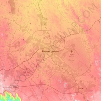
Name: Khamis Mushayt topographic map, elevation, terrain.
Location: Khamis Mushayt, 'Asir Region, 62411, Saudi Arabia (18.14000 42.57333 18.46000 42.89333)
Average elevation: 2,048 m
Minimum elevation: 1,494 m
Maximum elevation: 2,372 m