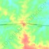
Feijó topographic map
Click on the map to display elevation.
About this map

Name: Feijó topographic map, elevation, terrain.
Location: Feijó, Acre, North Region, Brazil (-10.00045 -72.18103 -7.79200 -69.44304)
Average elevation: 225 m
Minimum elevation: 130 m
Maximum elevation: 404 m
Other topographic maps
Click on a map to view its topography, its elevation and its terrain.