
Thank you for supporting this site ❤️
Make a donation
Make a donation
Auburn Township topographic map
Click on the map to display elevation.
Thank you for supporting this site ❤️
Make a donation
Make a donation
About this map
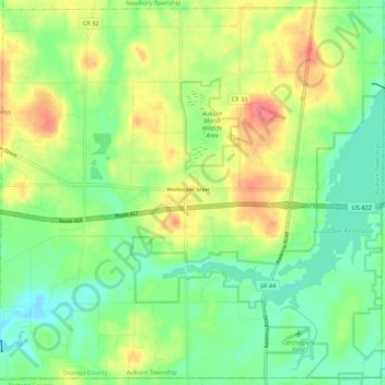
Name: Auburn Township topographic map, elevation, terrain.
Location: Auburn Township, Geauga County, Ohio, United States (41.34733 -81.29856 41.42567 -81.19048)
Average elevation: 361 m
Minimum elevation: 332 m
Maximum elevation: 404 m
Thank you for supporting this site ❤️
Make a donation
Make a donation
Other topographic maps
Click on a map to view its topography, its elevation and its terrain.