
Mesa topographic map
Interactive map
Click on the map to display elevation.
About this map
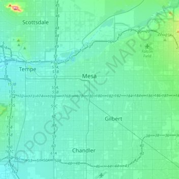
Name: Mesa topographic map, elevation, terrain.
Location: Mesa, Maricopa County, Arizona, United States of America (33.27762 -111.89398 33.51338 -111.58065)
Average elevation: 385 m
Minimum elevation: 336 m
Maximum elevation: 798 m