
Inalig topographic map
Click on the map to display elevation.
About this map
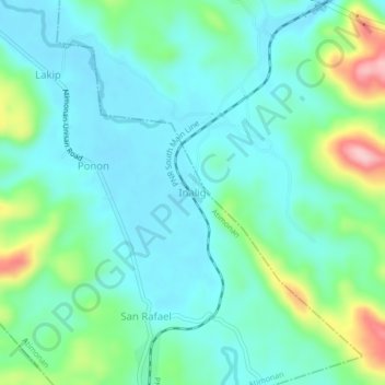
Name: Inalig topographic map, elevation, terrain.
Location: Inalig, Atimonan, Quezon, Calabarzon, Philippines (13.91405 121.98139 13.95405 122.02139)
Average elevation: 49 m
Minimum elevation: 6 m
Maximum elevation: 189 m