
Thank you for supporting this site ❤️
Make a donation
Make a donation
Zwarteklef topographic map
Click on the map to display elevation.
Thank you for supporting this site ❤️
Make a donation
Make a donation
About this map
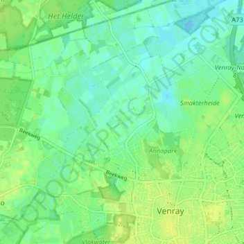
Name: Zwarteklef topographic map, elevation, terrain.
Location: Zwarteklef, Venray, Limburg, Nederland, 5804 BJ, Nederland (51.52154 5.94267 51.56154 5.98267)
Average elevation: 24 m
Minimum elevation: 17 m
Maximum elevation: 31 m
Thank you for supporting this site ❤️
Make a donation
Make a donation