
Thank you for supporting this site ❤️
Make a donation
Make a donation
Castries topographic map
Click on the map to display elevation.
Thank you for supporting this site ❤️
Make a donation
Make a donation
About this map
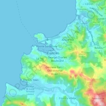
Name: Castries topographic map, elevation, terrain.
Location: Castries, LC04 101, Saint Lucia (13.96960 -61.03024 14.04960 -60.95024)
Average elevation: 55 m
Minimum elevation: -2 m
Maximum elevation: 363 m
Thank you for supporting this site ❤️
Make a donation
Make a donation
Other topographic maps
Click on a map to view its topography, its elevation and its terrain.