
Thank you for supporting this site ❤️
Make a donation
Make a donation
Gunung Silam topographic map
Click on the map to display elevation.
Thank you for supporting this site ❤️
Make a donation
Make a donation
About this map
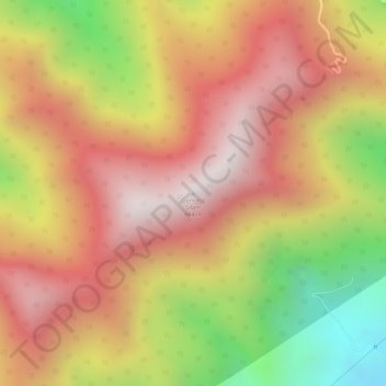
Name: Gunung Silam topographic map, elevation, terrain.
Location: Gunung Silam, Lahad Datu, Tawau Division, Sabah, Malaysia (4.95661 118.16469 4.95671 118.16479)
Average elevation: 539 m
Minimum elevation: 36 m
Maximum elevation: 854 m
Thank you for supporting this site ❤️
Make a donation
Make a donation
Other topographic maps
Click on a map to view its topography, its elevation and its terrain.