
Cartier topographic map
Interactive map
Click on the map to display elevation.
About this map
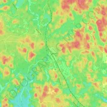
Name: Cartier topographic map, elevation, terrain.
Average elevation: 427 m
Minimum elevation: 392 m
Maximum elevation: 466 m
Other topographic maps
Click on a map to view its topography, its elevation and its terrain.
Estaire
Canada > Ontario > Sudbury District > Unorganized North Sudbury
Estaire, Unorganized North Sudbury, Sudbury District, Northeastern Ontario, Ontario, P3E 4N1, Canada
Average elevation: 233 m