
Thank you for supporting this site ❤️
Make a donation
Make a donation
Briley Township topographic map
Click on the map to display elevation.
Thank you for supporting this site ❤️
Make a donation
Make a donation
About this map
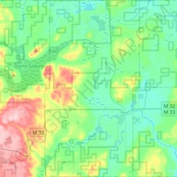
Name: Briley Township topographic map, elevation, terrain.
Location: Briley Township, Montmorency County, Michigan, United States (44.94191 -84.25328 45.11295 -84.12363)
Average elevation: 302 m
Minimum elevation: 252 m
Maximum elevation: 439 m
Thank you for supporting this site ❤️
Make a donation
Make a donation
Other topographic maps
Click on a map to view its topography, its elevation and its terrain.