
Thank you for supporting this site ❤️
Make a donation
Make a donation
Los Ranchos topographic map
Click on the map to display elevation.
Thank you for supporting this site ❤️
Make a donation
Make a donation
About this map
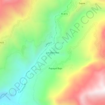
Name: Los Ranchos topographic map, elevation, terrain.
Location: Los Ranchos, Canchaque, Huancabamba, Piura, Perú (-5.24744 -79.66509 -5.20744 -79.62509)
Average elevation: 962 m
Minimum elevation: 462 m
Maximum elevation: 1,657 m
Thank you for supporting this site ❤️
Make a donation
Make a donation