
Ludza topographic map
Interactive map
Click on the map to display elevation.
About this map
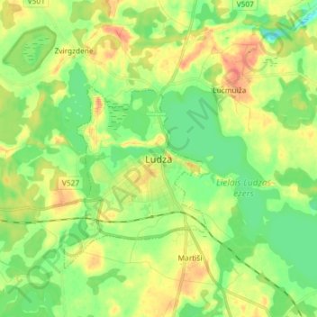
Name: Ludza topographic map, elevation, terrain.
Location: Ludza, Ludzas novads, Latgale, Letland (56.50772 27.68421 56.58772 27.76421)
Average elevation: 140 m
Minimum elevation: 120 m
Maximum elevation: 166 m