
Bruceton Mills topographic map
Interactive map
Click on the map to display elevation.
About this map
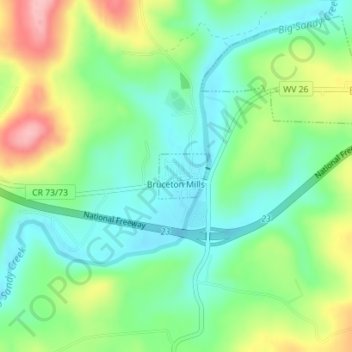
Name: Bruceton Mills topographic map, elevation, terrain.
Location: Bruceton Mills, Preston County, West Virginia, USA (39.65756 -79.64287 39.66102 -79.63798)
Average elevation: 508 m
Minimum elevation: 458 m
Maximum elevation: 601 m