
Thank you for supporting this site ❤️
Make a donation
Make a donation
Crooked Lake topographic map
Click on the map to display elevation.
Thank you for supporting this site ❤️
Make a donation
Make a donation
About this map
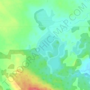
Name: Crooked Lake topographic map, elevation, terrain.
Location: Crooked Lake, Division No. 8, Alberta, Canada (52.48859 -114.24300 52.48869 -114.24290)
Average elevation: 955 m
Minimum elevation: 934 m
Maximum elevation: 997 m
Thank you for supporting this site ❤️
Make a donation
Make a donation
Other topographic maps
Click on a map to view its topography, its elevation and its terrain.