
Chise topographic map
Interactive map
Click on the map to display elevation.
About this map
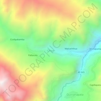
Name: Chise topographic map, elevation, terrain.
Location: Chise, Chuquibambilla, Grau, Apurímac, Pérou (-14.18776 -72.81505 -14.14776 -72.77505)
Average elevation: 3,973 m
Minimum elevation: 3,417 m
Maximum elevation: 4,691 m