
Dréhance topographic map
Interactive map
Click on the map to display elevation.
About this map
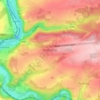
Name: Dréhance topographic map, elevation, terrain.
Location: Dréhance, Dinant, Namen, Wallonië, 5500, België (50.21683 4.91881 50.25683 4.95881)
Average elevation: 204 m
Minimum elevation: 75 m
Maximum elevation: 293 m
Other topographic maps
Click on a map to view its topography, its elevation and its terrain.