
Thank you for supporting this site ❤️
Make a donation
Make a donation
Yala Peak topographic map
Click on the map to display elevation.
Thank you for supporting this site ❤️
Make a donation
Make a donation
About this map
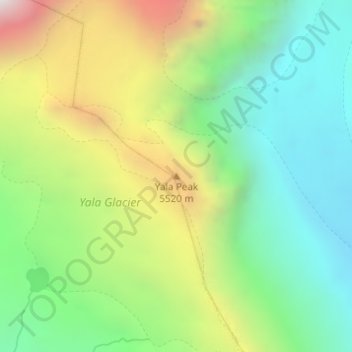
Name: Yala Peak topographic map, elevation, terrain.
Location: Yala Peak, Gosaikunda, Rasuwa, Bagmati Province, Nepal (28.24092 85.62284 28.24102 85.62294)
Average elevation: 5,200 m
Minimum elevation: 4,587 m
Maximum elevation: 6,260 m
Thank you for supporting this site ❤️
Make a donation
Make a donation