
Kalyanpur topographic map
Interactive map
Click on the map to display elevation.
About this map
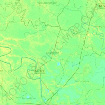
Name: Kalyanpur topographic map, elevation, terrain.
Location: Kalyanpur, Samastipur District, Bihar, 846002, Indien (25.87015 85.64793 26.08938 85.90172)
Average elevation: 48 m
Minimum elevation: 41 m
Maximum elevation: 58 m
Other topographic maps
Click on a map to view its topography, its elevation and its terrain.