
Wytschegda topographic map
Interactive map
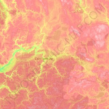
Click on the map to display elevation.
About this map
Name: Wytschegda topographic map, elevation, terrain.
Average elevation: 154 m
Minimum elevation: 48 m
Maximum elevation: 345 m
Other topographic maps
Click on a map to view its topography, its elevation and its terrain.
Republik Komi
Republik Komi, Föderationskreis Nordwest, Russland
Average elevation: 140 m