
Thank you for supporting this site ❤️
Make a donation
Make a donation
Tholukodu topographic map
Click on the map to display elevation.
Thank you for supporting this site ❤️
Make a donation
Make a donation
About this map
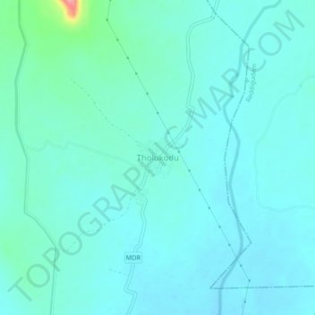
Name: Tholukodu topographic map, elevation, terrain.
Location: Tholukodu, Mylavaram, NTR, Andhra Pradesh, 521230, India (16.78771 80.65663 16.82771 80.69663)
Average elevation: 70 m
Minimum elevation: 55 m
Maximum elevation: 162 m
Thank you for supporting this site ❤️
Make a donation
Make a donation