
Makitie topographic map
Interactive map
Click on the map to display elevation.
About this map
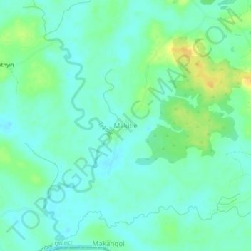
Name: Makitie topographic map, elevation, terrain.
Location: Makitie, Bombali District, Northern Province, Sierra Leone (8.70374 -12.07791 8.74374 -12.03791)
Average elevation: 69 m
Minimum elevation: 61 m
Maximum elevation: 86 m