
Thank you for supporting this site ❤️
Make a donation
Make a donation
岙滩社区 topographic map
Click on the map to display elevation.
Thank you for supporting this site ❤️
Make a donation
Make a donation
About this map
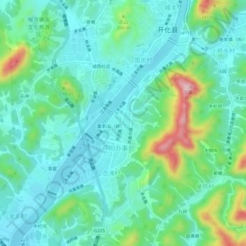
Name: 岙滩社区 topographic map, elevation, terrain.
Location: 岙滩社区, Huabu, Kaihua County, Quzhou, Zhejiang, China (29.10466 118.38255 29.14466 118.42255)
Average elevation: 170 m
Minimum elevation: 113 m
Maximum elevation: 353 m
Thank you for supporting this site ❤️
Make a donation
Make a donation