
Thank you for supporting this site ❤️
Make a donation
Make a donation
Oaklands topographic map
Click on the map to display elevation.
Thank you for supporting this site ❤️
Make a donation
Make a donation
About this map
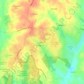
Name: Oaklands topographic map, elevation, terrain.
Location: Oaklands, Goochland County, Virginia, 23102, United States (37.67181 -77.87250 37.71181 -77.83250)
Average elevation: 80 m
Minimum elevation: 46 m
Maximum elevation: 106 m
Thank you for supporting this site ❤️
Make a donation
Make a donation