
Thank you for supporting this site ❤️
Make a donation
Make a donation
Tiur topographic map
Click on the map to display elevation.
Thank you for supporting this site ❤️
Make a donation
Make a donation
About this map
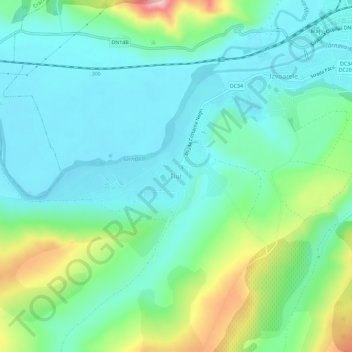
Name: Tiur topographic map, elevation, terrain.
Location: Tiur, Blaj, Alba, 515407, Roumanie (46.13875 23.86612 46.17875 23.90612)
Average elevation: 281 m
Minimum elevation: 234 m
Maximum elevation: 418 m
Thank you for supporting this site ❤️
Make a donation
Make a donation