
Thank you for supporting this site ❤️
Make a donation
Make a donation
Kālavākkam topographic map
Click on the map to display elevation.
Thank you for supporting this site ❤️
Make a donation
Make a donation
About this map
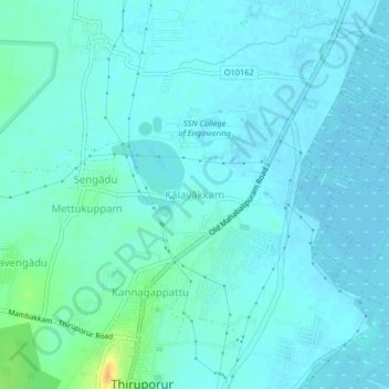
Name: Kālavākkam topographic map, elevation, terrain.
Location: Kālavākkam, Tiruporur, Chengalpattu, Tamil Nadu, 603105, India (12.72532 80.17505 12.76532 80.21505)
Average elevation: 6 m
Minimum elevation: -1 m
Maximum elevation: 34 m
Thank you for supporting this site ❤️
Make a donation
Make a donation
Other topographic maps
Click on a map to view its topography, its elevation and its terrain.