
Alteburg topographic map
Click on the map to display elevation.
About this map
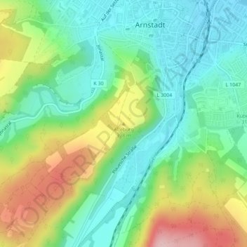
Name: Alteburg topographic map, elevation, terrain.
Location: Alteburg, Arnstadt, Ilm-Kreis, Thuringia, 99310, Germany (50.82282 10.94099 50.82292 10.94109)
Average elevation: 347 m
Minimum elevation: 275 m
Maximum elevation: 482 m