
Thank you for supporting this site ❤️
Make a donation
Make a donation
الزبيرة topographic map
Click on the map to display elevation.
Thank you for supporting this site ❤️
Make a donation
Make a donation
About this map
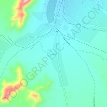
Name: الزبيرة topographic map, elevation, terrain.
Location: الزبيرة, Rabigh, Makkah Region, Saudi Arabia (22.97421 39.69897 23.01421 39.73897)
Average elevation: 563 m
Minimum elevation: 514 m
Maximum elevation: 776 m
Thank you for supporting this site ❤️
Make a donation
Make a donation
Other topographic maps
Click on a map to view its topography, its elevation and its terrain.