
Heikantberg topographic map
Interactive map
Click on the map to display elevation.
About this map
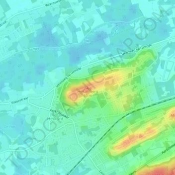
Name: Heikantberg topographic map, elevation, terrain.
Average elevation: 17 m
Minimum elevation: 3 m
Maximum elevation: 62 m
Other topographic maps
Click on a map to view its topography, its elevation and its terrain.
Werchter
België > Vlaams-Brabant > Leuven > Rotselaar
Werchter, Rotselaar, Leuven, Vlaams-Brabant, 3118, België
Average elevation: 10 m
Beninksberg
België > Vlaams-Brabant > Leuven > Rotselaar
Beninksberg, Rotselaar, Leuven, Vlaams-Brabant, Vlaanderen, 3111, België
Average elevation: 32 m
Wezemaal
België > Vlaams-Brabant > Leuven > Rotselaar
Wezemaal, Rotselaar, Leuven, Vlaams-Brabant, 3111, België
Average elevation: 19 m
Middelberg
België > Vlaams-Brabant > Leuven > Rotselaar
Middelberg, Rotselaar, Leuven, Vlaams-Brabant, Vlaanderen, 3111, België
Average elevation: 27 m