
Muwani topographic map
Click on the map to display elevation.
About this map
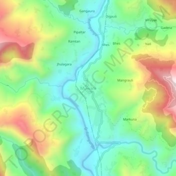
Name: Muwani topographic map, elevation, terrain.
Location: Muwani, Didihat, Pithoragarh, Uttarakhand, 262552, India (29.73647 80.10879 29.77647 80.14879)
Average elevation: 979 m
Minimum elevation: 725 m
Maximum elevation: 1,432 m