
Römerswil topographic map
Interactive map
Click on the map to display elevation.
About this map
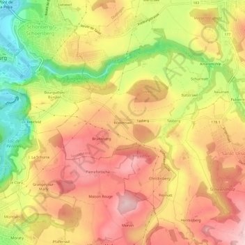
Name: Römerswil topographic map, elevation, terrain.
Location: Römerswil, District de la Singine, Fribourg, 1722, Suisse (46.77497 7.17149 46.81497 7.21149)
Average elevation: 681 m
Minimum elevation: 533 m
Maximum elevation: 785 m