
Thank you for supporting this site ❤️
Make a donation
Make a donation
坎底 topographic map
Click on the map to display elevation.
Thank you for supporting this site ❤️
Make a donation
Make a donation
About this map
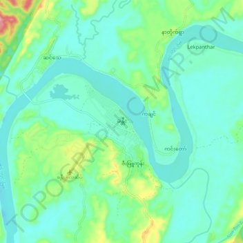
Name: 坎底 topographic map, elevation, terrain.
Location: 坎底, 坎底镇区, 坎底县, 实皆省, 缅甸 (25.96214 95.65127 26.04214 95.73127)
Average elevation: 162 m
Minimum elevation: 130 m
Maximum elevation: 282 m
Thank you for supporting this site ❤️
Make a donation
Make a donation