
Thank you for supporting this site ❤️
Make a donation
Make a donation
Oog topographic map
Click on the map to display elevation.
Thank you for supporting this site ❤️
Make a donation
Make a donation
About this map
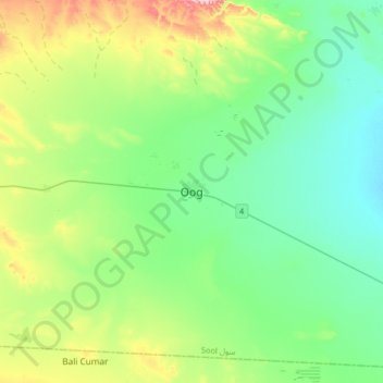
Name: Oog topographic map, elevation, terrain.
Location: Oog, Aynabo District, Sool, Somaliland, Somalia (8.77514 46.46058 9.09514 46.78058)
Average elevation: 722 m
Minimum elevation: 639 m
Maximum elevation: 968 m
Thank you for supporting this site ❤️
Make a donation
Make a donation