
Thank you for supporting this site ❤️
Make a donation
Make a donation
Rift topographic map
Click on the map to display elevation.
Thank you for supporting this site ❤️
Make a donation
Make a donation
About this map
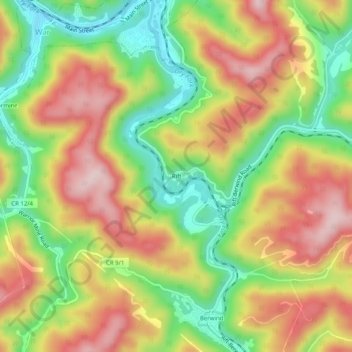
Name: Rift topographic map, elevation, terrain.
Location: Rift, McDowell County, West Virginia, 24894, United States (37.26484 -81.69178 37.30484 -81.65178)
Average elevation: 553 m
Minimum elevation: 403 m
Maximum elevation: 705 m
Thank you for supporting this site ❤️
Make a donation
Make a donation
Other topographic maps
Click on a map to view its topography, its elevation and its terrain.