
Legarda topographic map
Click on the map to display elevation.
About this map
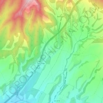
Name: Legarda topographic map, elevation, terrain.
Location: Legarda, Izarbeibar, Navarre, 31133, Spain (42.69134 -1.79271 42.73134 -1.75271)
Average elevation: 510 m
Minimum elevation: 389 m
Maximum elevation: 734 m