
Thank you for supporting this site ❤️
Make a donation
Make a donation
Albion topographic map
Click on the map to display elevation.
Thank you for supporting this site ❤️
Make a donation
Make a donation
About this map
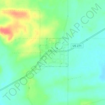
Name: Albion topographic map, elevation, terrain.
Location: Albion, Pushmataha County, Oklahoma, 74524, United States (34.65885 -95.10387 34.66615 -95.09502)
Average elevation: 207 m
Minimum elevation: 188 m
Maximum elevation: 246 m
Thank you for supporting this site ❤️
Make a donation
Make a donation