
Thank you for supporting this site ❤️
Make a donation
Make a donation
Puerto Porvenir topographic map
Click on the map to display elevation.
Thank you for supporting this site ❤️
Make a donation
Make a donation
About this map
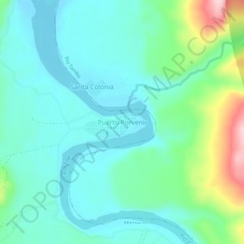
Name: Puerto Porvenir topographic map, elevation, terrain.
Location: Puerto Porvenir, Mazamari, Satipo, Junín, Perú (-11.69869 -74.03774 -11.65869 -73.99774)
Average elevation: 410 m
Minimum elevation: 352 m
Maximum elevation: 607 m
Thank you for supporting this site ❤️
Make a donation
Make a donation
Other topographic maps
Click on a map to view its topography, its elevation and its terrain.