
Thank you for supporting this site ❤️
Make a donation
Make a donation
Woolpunda topographic map
Click on the map to display elevation.
Thank you for supporting this site ❤️
Make a donation
Make a donation
About this map
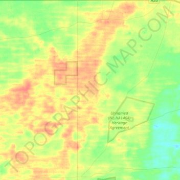
Name: Woolpunda topographic map, elevation, terrain.
Average elevation: 65 m
Minimum elevation: 43 m
Maximum elevation: 86 m
Thank you for supporting this site ❤️
Make a donation
Make a donation
Other topographic maps
Click on a map to view its topography, its elevation and its terrain.
Flagstaff Hill
Australia > South Australia > The District Council of Loxton Waikerie
Average elevation: 27 m
Kingston On Murray
Australia > South Australia > The District Council of Loxton Waikerie > Kingston On Murray
Average elevation: 29 m